Savannah
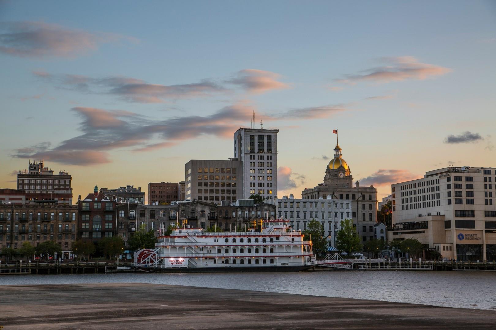
Savannah, Georgia, is a city that moves at its own pace, shaded by moss-draped oaks and shaped by centuries of stories. Founded in 1733, it was Georgia’s first city and still wears its history proudly. Visitors walking through the Historic District will find cobblestone streets, hidden gardens, and 22 public squares, each with its own character.
Salmon Arm
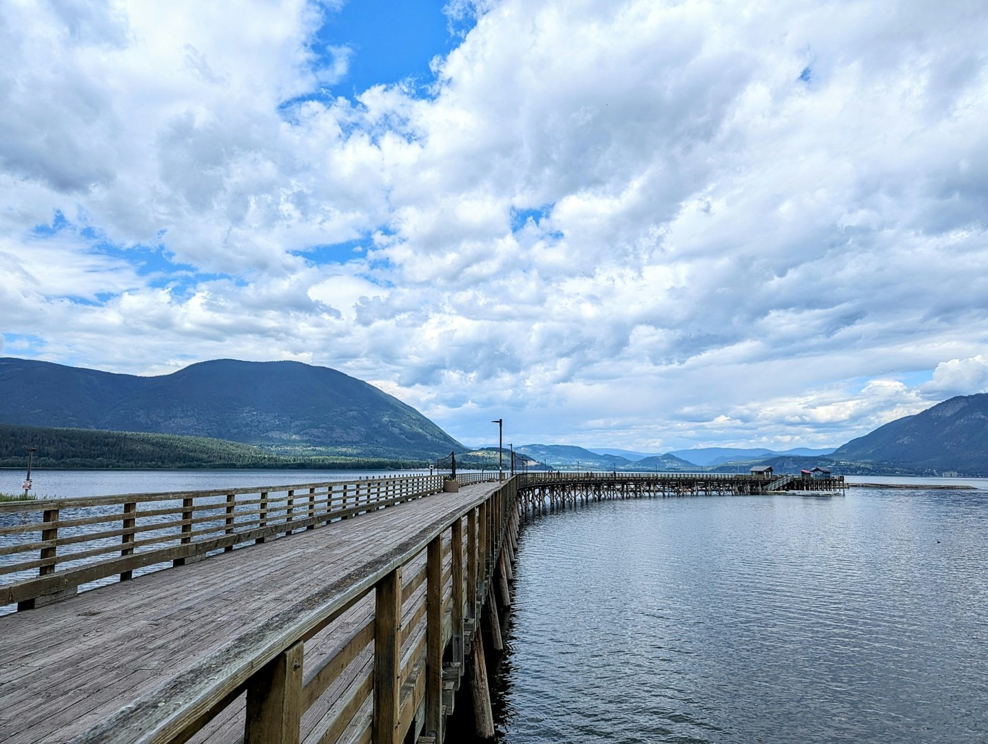
Salmon Arm is a community on the southern shore of Shuswap Lake in British Columbia’s Southern Interior. Its location places the city between Kamloops and Revelstoke, with the lake, surrounding hills, and forested valleys shaping the local landscape. The community takes its name from the southwest arm of Shuswap Lake, which was historically associated with salmon runs in the waterways entering the lake.
Livingstone
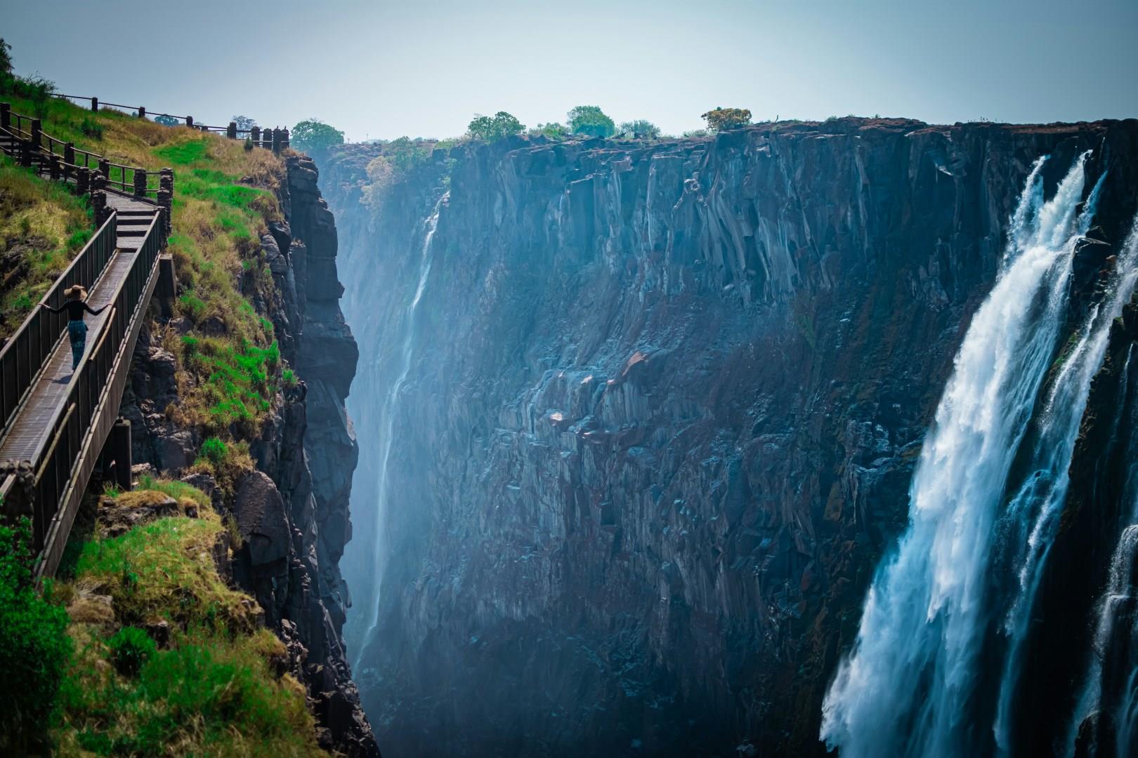
In the heart of Zambia lies Livingstone, a city that serves as the gateway to one of the most spectacular natural wonders in the world: Victoria Falls. This UNESCO World Heritage Site, often referred to as "The Smoke That Thunders," is renowned for its breathtakingly powerful waterfalls on the Zambezi River. The falls, which span over 1,700 meters wide and plunge 108 meters deep, offer a mesmerizing display of nature's might.

Brecon Beacons
The Brecon Beacons, officially known as Bannau Brycheiniog, rise through south-central Wales as a landscape shaped by myth, grazing, and long human presence.
Berry Islands
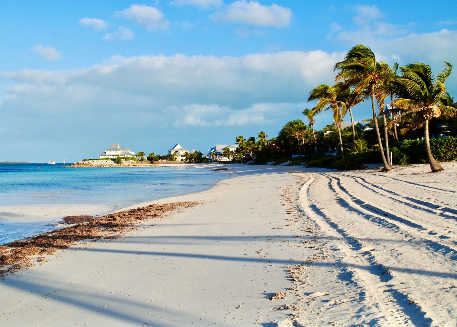
The Berry Islands are a scattered group of small islands and cays in the central Bahamas, located between New Providence and Andros. The archipelago contains Great Harbour Cay, Little Harbour Cay, Chub Cay, and numerous smaller islands surrounded by shallow banks, reefs, and clear Atlantic waters. Much of the landscape consists of low limestone islands with sandy beaches, scrub vegetation, mangroves, tidal flats, and sheltered coves.