Bangor
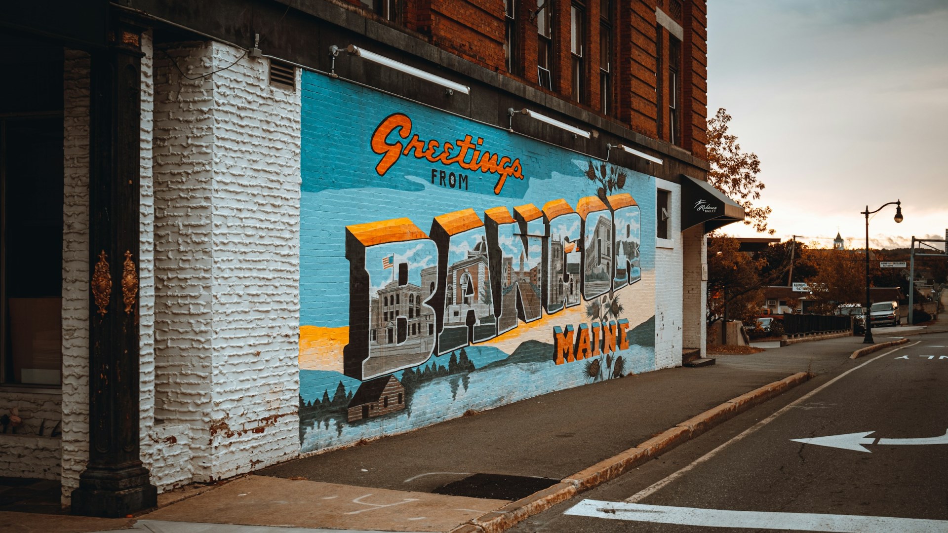
Settled in 1769, this Maine city is located on the Penobscot River in south central Maine.
Salt Spring Island
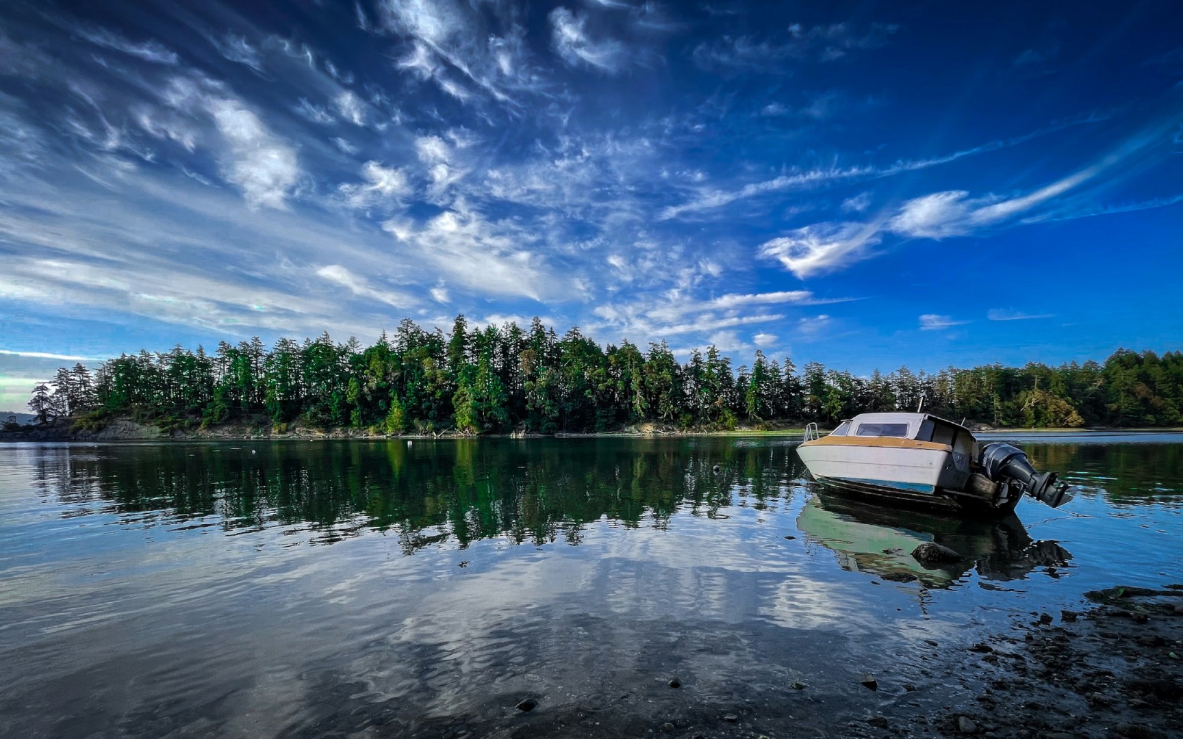
Salt Spring Island is the largest of British Columbia’s Southern Gulf Islands, situated between Vancouver Island and the mainland in the Salish Sea. The island is known for its forested hills, sheltered bays, small farms, and network of rural roads. Ganges serves as the main community and a centre for shops, galleries, cafés, and waterfront activity, while Fulford Harbour and Vesuvius provide additional ferry connections.
Florø
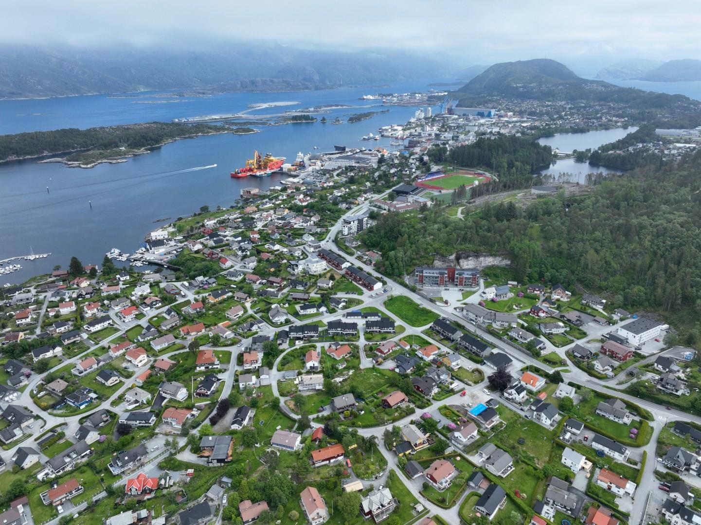
Florø, the westernmost town in Norway, sits right at the edge of the sea as a small, coastal town with deep maritime roots and front-row views of the North Atlantic. Established in 1860 as a herring fishing hub, Florø still carries the rhythm of the ocean in daily life. Though small in size, the town serves as a jumping-off point to explore the rugged coastline, scenic fjords, and a collection of islands that each have their own stories and scenery.
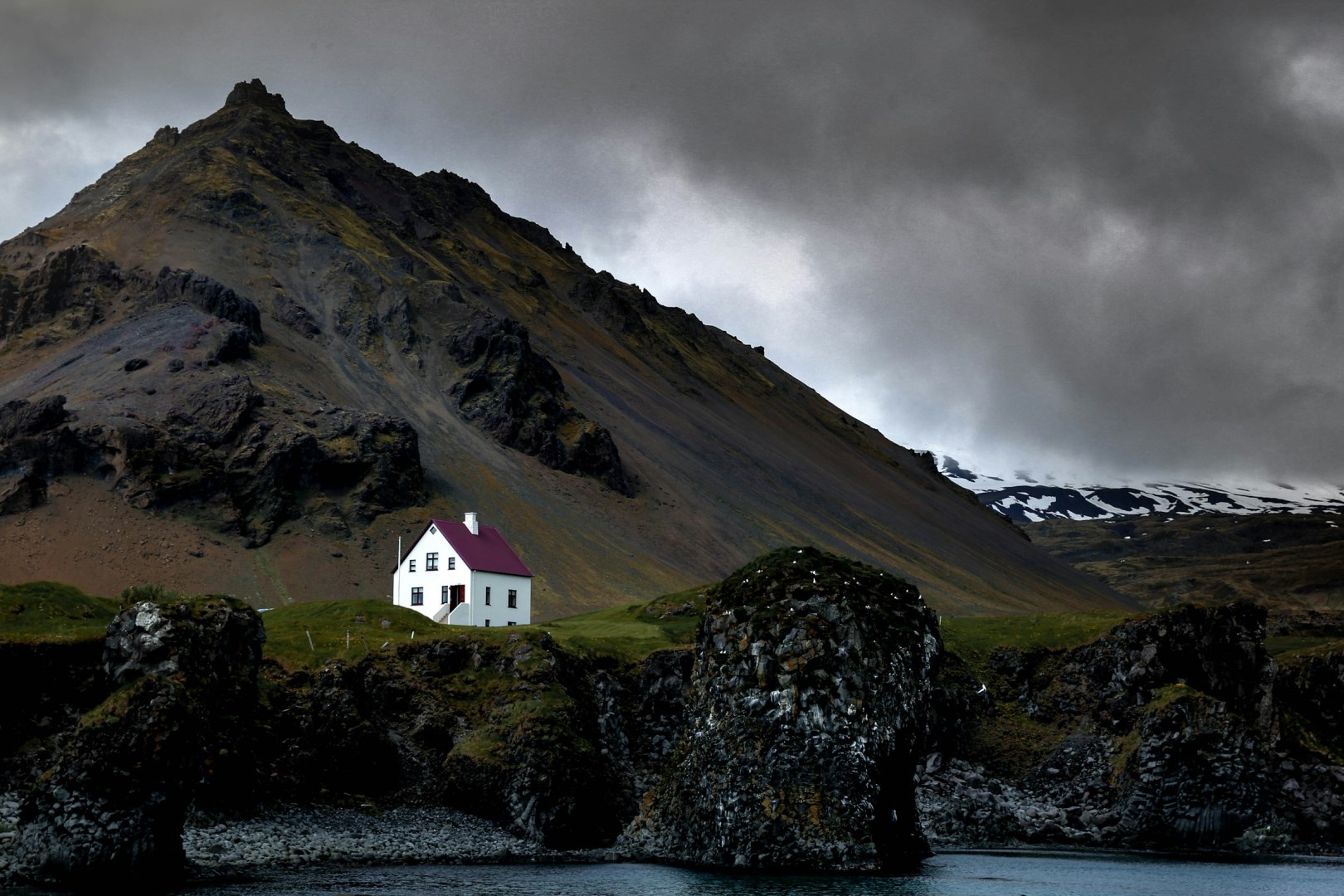
Westfjords
The Westfjords are a remote region in northwestern Iceland, shaped by deep fjords, steep flat-topped mountains, narrow coastal roads, and a shoreline carved over millions of years. The region lies away from Iceland’s Ring Road and contains some of the country’s least populated landscapes. Ísafjörður is the largest town and the main service center, with smaller communities including Patreksfjörður, Þingeyri, Flateyri, Súðavík, and Bolungarvík.
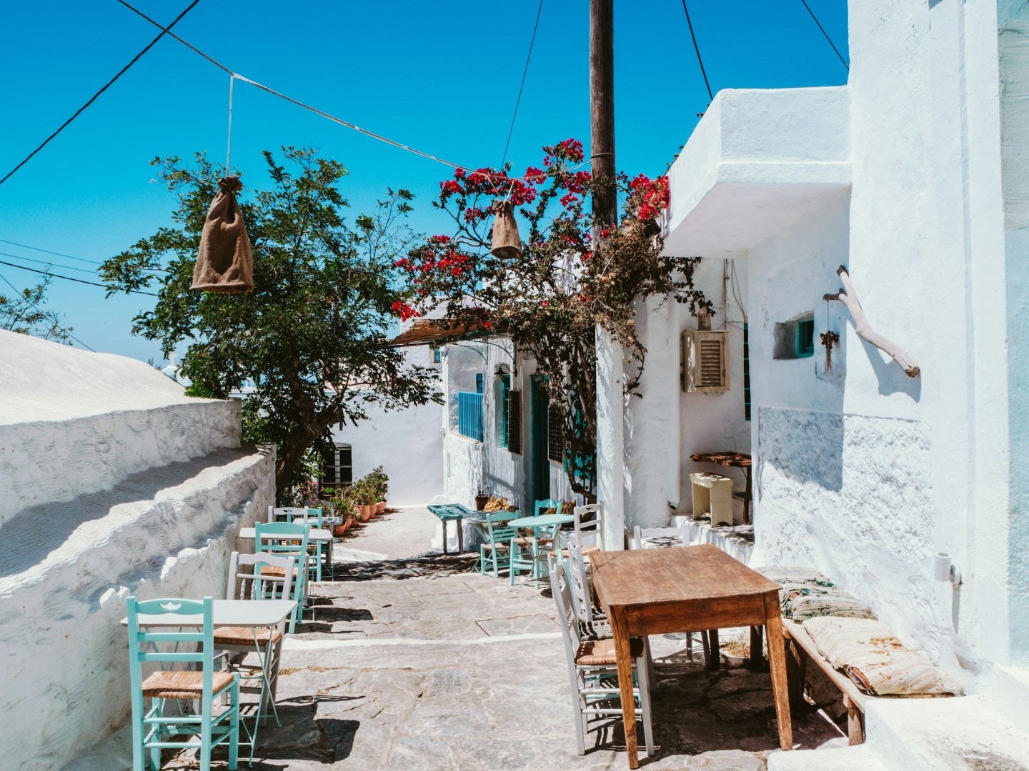
Amorgos
Amorgos is an island in the eastern Cyclades, known for its steep rocky coastline, whitewashed villages, stone paths, and broad views across the Aegean Sea. Unlike flatter Cycladic islands, much of Amorgos is mountainous, with Mount Krikelos reaching 821 metres and deep valleys separating its settlements. The main ports are Katapola and Aegiali, while Chora, the island’s inland capital, is built around narrow lanes, small squares, windmills, and traditional Cycladic houses.