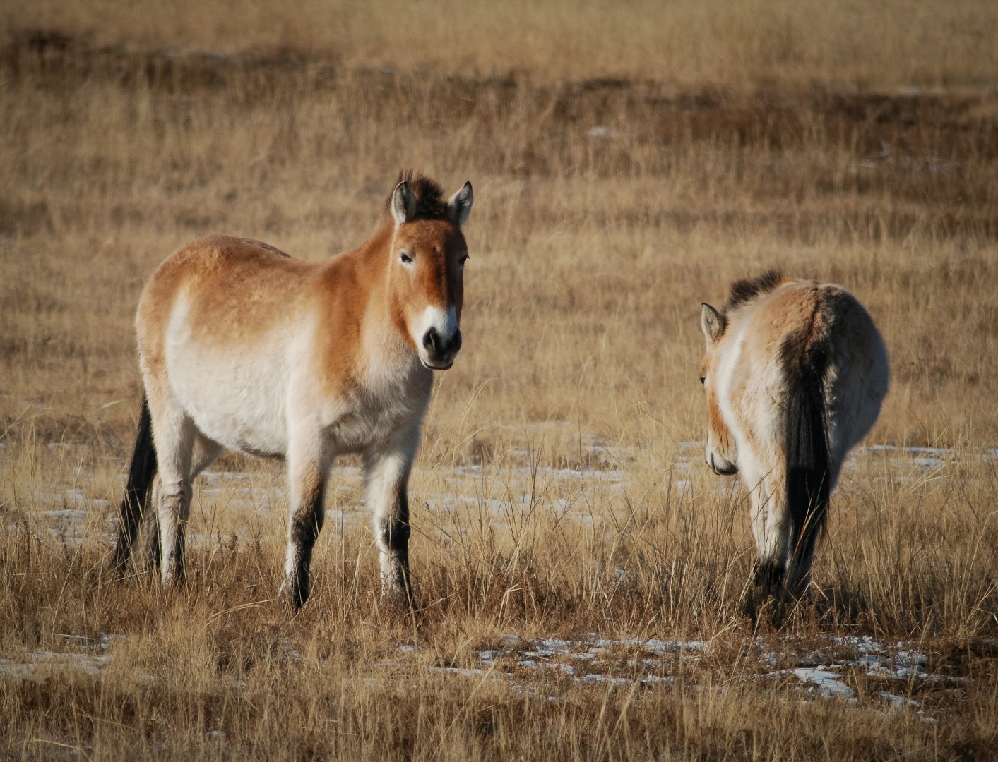
Hustai National Park
Hustai National Park is a protected grassland reserve in central Mongolia, located west of Ulaanbaatar in an area of rolling степpe, forested hills, and river valleys. The park is best known for the reintroduction of the Przewalski’s horse, known locally as takhi, a wild horse species that had disappeared from Mongolia before conservation programs returned it to the region.

Colón
Colón is a Caribbean port city on Panama’s northern coast, positioned near the Atlantic entrance to the Panama Canal. Its waterfront setting, tropical climate, and access to the canal, Caribbean beaches, and surrounding rainforest give it a distinctive role within Panama’s geography. The city is closely connected to the canal’s commercial activity and serves as an important gateway to destinations in Colón Province.
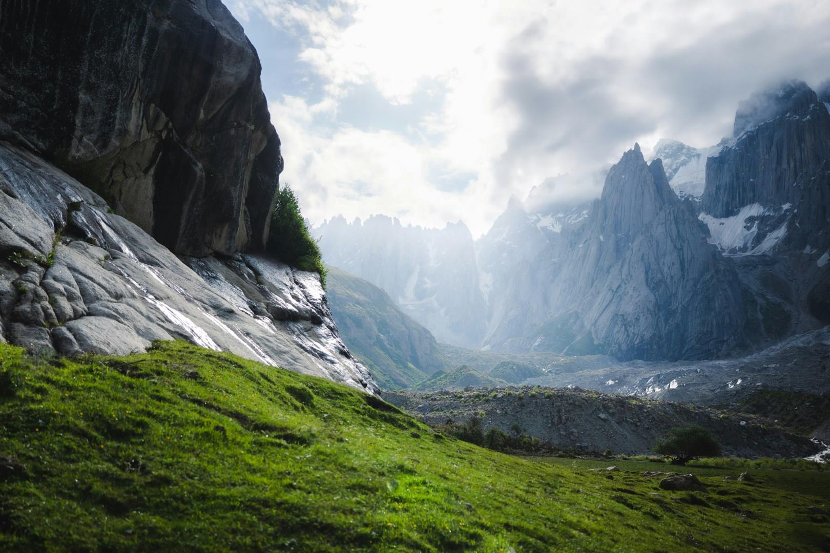
Nangma Valley
Nangma Valley, tucked deep within the Karakoram Range of northern Pakistan, is a place where towering granite spires rise dramatically above alpine meadows and clear streams. Located near the small town of Hushé in Gilgit-Baltistan, the valley is often described as a natural amphitheater of peaks. Climbers and trekkers from around the world are drawn to its vertical walls, but the valley’s quiet trails and sweeping views also offer an extraordinary experience .

Grand Teton National Park
Grand Teton National Park, located in northwestern Wyoming, offers a breathtaking panorama of rugged mountain landscapes and pristine wilderness. Dominated by the imposing Teton Range, the park’s dramatic peaks rise sharply from the valley floor, creating one of the most striking mountain vistas in the United States. The Tetons are renowned for their stunning granite spires, including the iconic Grand Teton, which reaches 13,775 feet and is a favorite among climbers and photographers alike.

Looe
Looe is a small seaside town on the south coast of Cornwall, England, divided by the River Looe into East and West Looe and connected by a graceful stone bridge. With origins as a medieval port, the town has long been shaped by fishing and seafaring, traditions that still define its identity today.